Explore Our Services to Empower Your Success
From precise Engineering surveys and advanced geospatial technologies to actionable insights and expert training, we deliver solutions tailored to help you succeed.
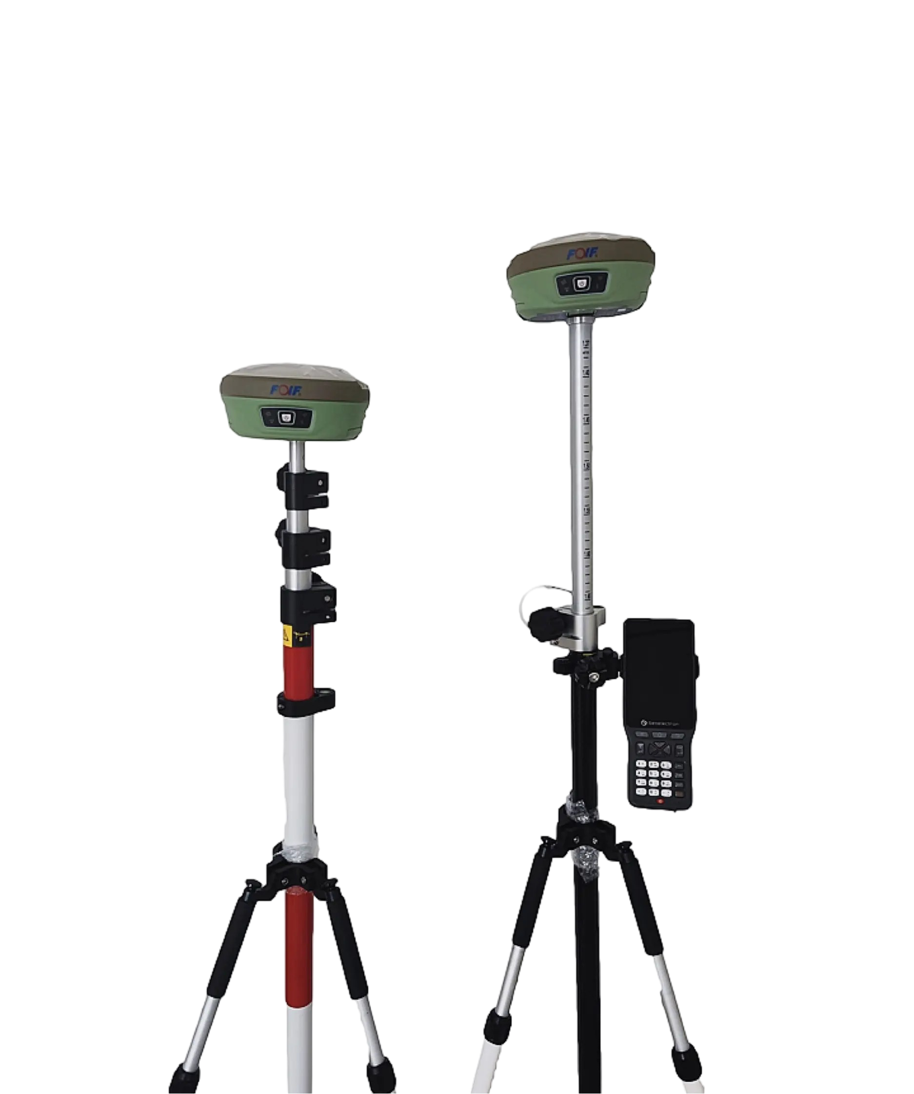
Surveying and Data Collection
Our surveying services provide the foundation for successful projects by delivering accurate measurements and reliable data. From land development to infrastructure and construction, we ensure your projects are built on precision, efficiency, and confidence.
Engineering Surveying
Our surveying solutions ensure precision and reliability for diverse project needs, from infrastructure development to land management and construction. We provide accurate measurements and insights to guide every phase of your work.

Data Collection
Our team excels in gathering, analyzing, and compiling diverse datasets to empower informed decisions across various sectors. From tailored studies to project assessments, we deliver insights that drive impactful results.
Our Services Cover:
- Topographic and Boundary surveys
- Land subdivision and cadastral mapping
- Environmental and site data collection
- Custom data solutions tailored to your project
.


Geospatial Technologies
At BONA SOLUTIONS, we offer customized geospatial services to tackle your project’s unique challenges. Using advanced technology and reliable data, we help you make faster, smarter decisions across land use, infrastructure, and environmental monitoring. Our efficient tools save you time and resources, ensuring impactful results. Whether it’s urban planning, environmental assessments, or resource management, we provide full support, transforming complex data into actionable insights that drive success. With our expert team, your projects stay on track and achieve lasting results.

Our Geospatial Services Include:
- Geographic Information Systems (GIS): Mapping, analyzing, and managing geographic data to make smarter decisions.
- Remote Sensing: Collecting and analyzing data from satellites, drones, or sensors to monitor and assess landscapes.
- Spatial Data Visualization: Transforming complex data into easy to understand maps and visuals for better interpretation.
- Geospatial Data Analysis: Providing in depth spatial analysis for resource management, urban planning, and environmental assessments.

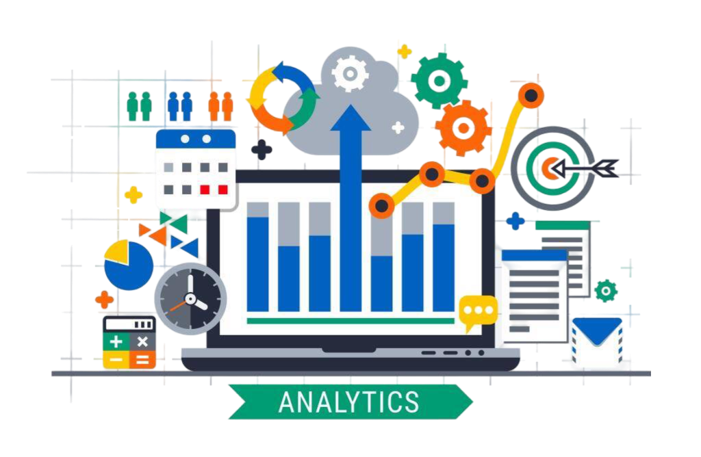
Data Analytics
At BONA SOLUTIONS, we turn complex data into clear, actionable insights that drive smarter decision-making. Our customized solutions are designed to meet your unique business needs, using advanced technology to ensure accuracy and efficiency. Whether you’re optimizing operations, forecasting trends, or uncovering valuable opportunities, our expert team helps you save time and resources while achieving impactful, long-term results. With a focus on speed and reliability, we guide your data strategy at every step, ensuring your projects stay on track and deliver lasting success.

Our Data Analytics Services Include:
- Data Collection & Integration: Efficiently gathering and unifying data from multiple sources.
- Predictive Analytics: Leveraging historical data to forecast trends and drive proactive decisions.
- Data Visualization: Turning complex data into easy-to-understand visual reports and dashboards.
- Geospatial Data Analysis: Merging spatial and non-spatial data for deeper insights in resource management and planning.
Professional Training
At BONA SOLUTIONS, we provide professional training services that empower your team with the skills and knowledge needed to succeed in today’s fast-paced environment. Our customized training programs are designed to meet your unique business needs, covering areas like geospatial technology and data analytics. With expert instructors and hands-on learning, we ensure that your team gains practical, applicable skills. Our focus on efficiency and support ensures long-term growth and impactful results, helping your team drive success in your projects and operations.
Our Professional Training Services Include:
- Geospatial Technology Training: Hands-on training in GIS, remote sensing, and spatial data analysis to empower your team to harness geospatial tools for impactful decision-making.
- Data Analytics Training: Equip your team with the skills to analyze and visualize data, and learn how to turn complex datasets into actionable insights.
- Software Training: Training on the latest tools and software in geospatial technology, data analytics, and project management, ensuring your team stays ahead of the curve.
- Custom Workshops & Seminars: We offer specialized workshops on topics ranging from data management to advanced analytics, tailored to your team’s needs.


